
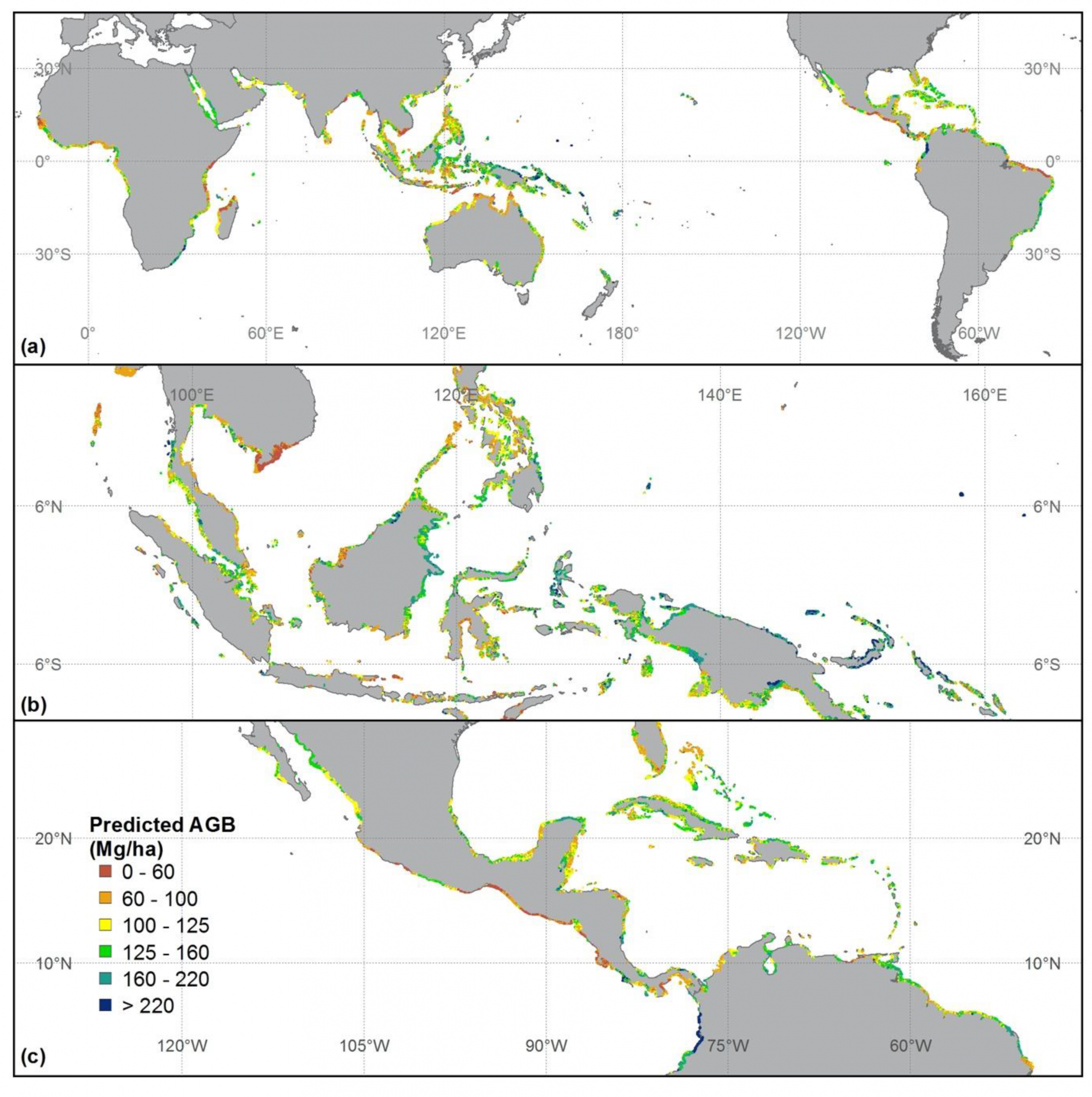
Mangrove forest ecosystems are distributed at the land–sea interface in tropical and subtropical regions and play an important role in carbon cycles and biodiversity. Accurately mapping global mangrove aboveground biomass (AGB) will help us understand how mangrove ecosystems are affected by the impacts of climatic change and human activities. Light detection and ranging (LiDAR) techniques have been proven to accurately capture the three-dimensional structure of mangroves and LiDAR can estimate forest AGB with high accuracy. In this study, we produced a global mangrove forest AGB map for 2004 at a 250-m resolution by combining ground inventory data, spaceborne LiDAR, optical imagery, climate surfaces, and topographic data with random forest, a machine learning method. From the published literature and free-access datasets of mangrove biomass, we selected 342 surface observations to train and validate the mangrove AGB estimation model. Our global mangrove AGB map showed that average global mangrove AGB density was 115.23 Mg/ha, with a standard deviation of 48.89 Mg/ha. Total global AGB storage within mangrove forests was 1.52 Pg. Cross-validation with observed data demonstrated that our mangrove AGB estimates were reliable. The adjusted coefficient of determination (R2) and root-mean-square error (RMSE) were 0.48 and 75.85 Mg/ha, respectively. Our estimated global mangrove AGB storage was similar to that predicted by previous remote sensing methods, and remote sensing approaches can overcome overestimates from climate-based models. This new biomass map provides information that can help us understand the global mangrove distribution, while also serving as a baseline to monitor trends in global mangrove biomass.
Reference
Hu, T.; Zhang, Y.; Su, Y.; Zheng, Y.; Lin, G.; Guo, Q*. Mapping the Global Mangrove Forest Aboveground Biomass Using Multisource Remote Sensing Data. Remote Sens. 2020, 12, 1690.
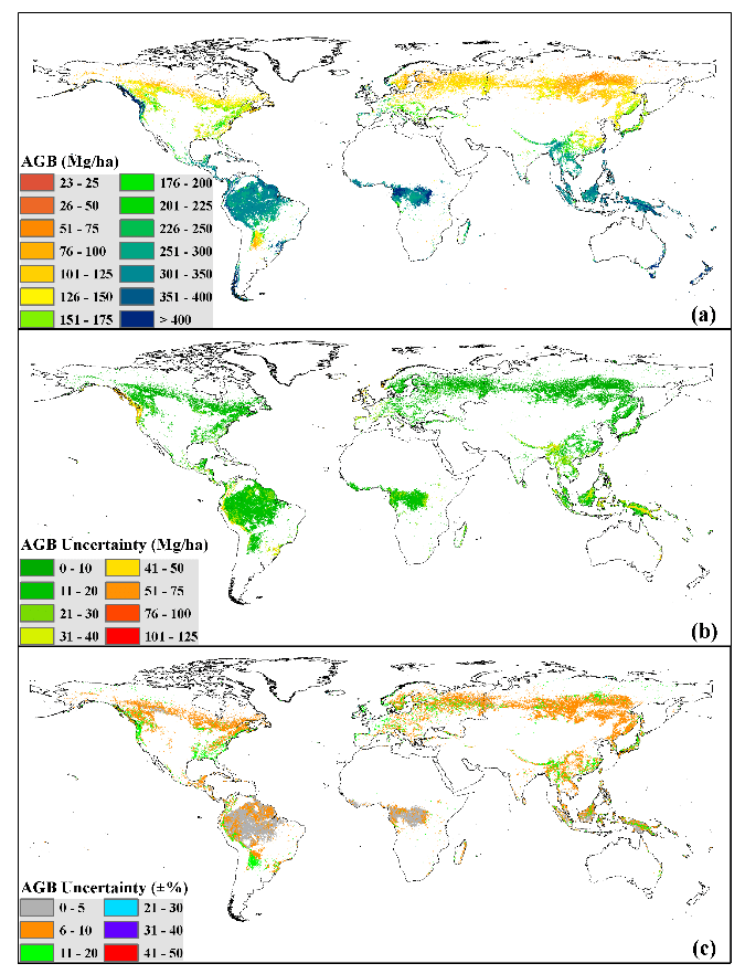 Global forest AGB map